Maps have the ability to transport us to a distant time and place. The original maps featured in this portion of the exhibit build on the original documents you've already seen.
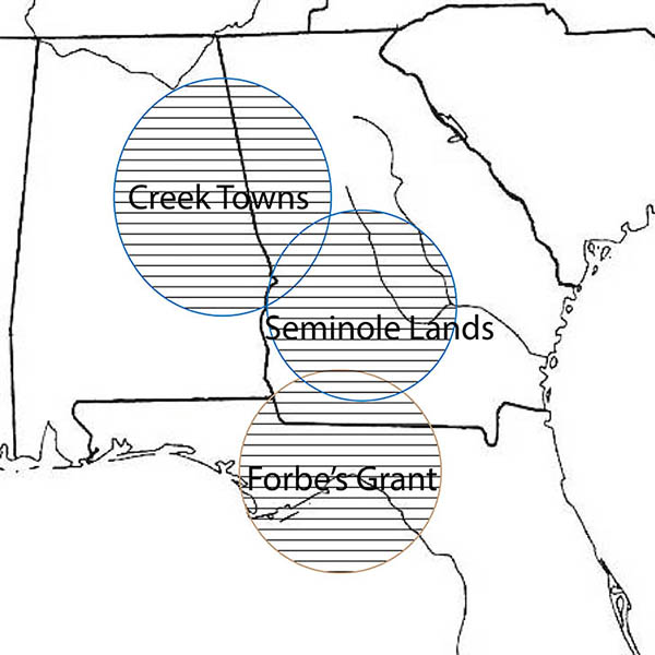
Below you can CLICK on the highlighted area to see an original period map depicting various aspects of the fur trade in Florida and the southeast, and the locations of historic trading towns, Spanish cities, established trading routes, as well as other information pertianing to the trade as it existed at the end of the 18th century
Lastly, you can see a survey of one of the largest land cessions granted to the trading firm John Forbes & Co., at the begning of the 19th century. The nearly 1.2 million acre tract was exchanged for absolution of debt owed to the company by various Seminole and Creek Indian clans.
FHSAI Adventures
in Florida Archaeology